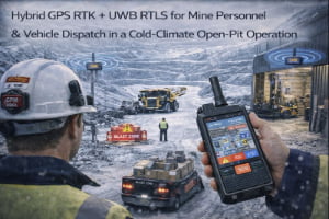
Large industrial sites rarely fit into a simple “indoor” or “outdoor” box. Operators move between workshops, pipe racks, tunnels, tank farms, yards and office buildings in the same shift. Standard GPS stops working the moment someone steps into a building or tunnel, while traditional indoor RTLS has no visibility once personnel or vehicles leave the UWB coverage area.
The result is fragmented positioning. Safety and operations teams use one system for indoor RTLS, another for outdoor GPS tracking, and often rely on radio calls and CCTV to understand what is actually happening at the boundary between buildings and open areas. During an emergency or a drill, it is difficult to know exactly who is still inside, who has already reached an assembly point, and which vehicles are still moving.
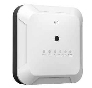
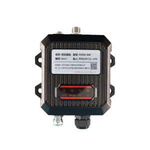
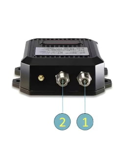
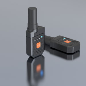
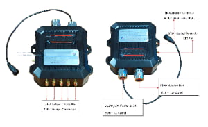
The Indoor–Outdoor Seamless Positioning solution combines UWB RTLS indoors with GPS RTK outdoors, using hybrid terminals that automatically switch between the two technologies. Indoors, UWB anchors or beacons provide sub-metre accuracy under roofs, in tunnels and in pipe-rack corridors. Outdoors, GPS RTK with a reference station delivers centimetre-level positioning across open yards, roads and tank farms. All data is fused in one positioning platform with a single coordinate system and a unified map.
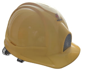
This architecture allows one worker badge, smart safety helmet or vehicle terminal to provide continuous location from underground areas to open hillsides, without gaps at building entrances, stairwells or doors. It forms a positioning infrastructure that can be reused by multiple applications: personnel safety, vehicle dispatching, work-permit zones, slope and tank monitoring, and more.